who we are
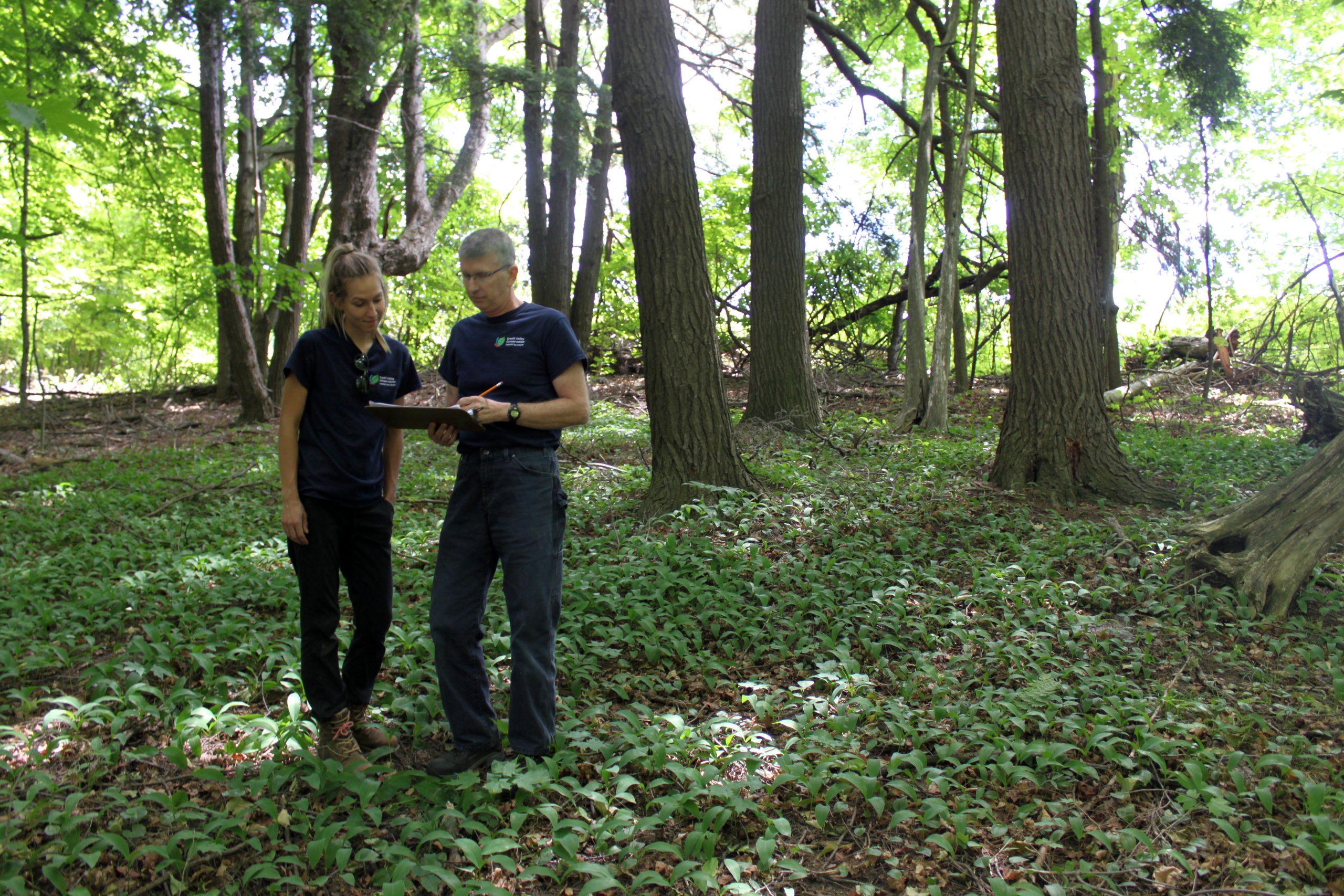
Credit Valley Conservation protects, restores and manages the water, land and natural habitats of the Credit Valley Watershed. A watershed is the area of land that drains (sheds) rain or snow melt into a river; in our case, the almost 90-km long Credit River. A healthy watershed is vitally important. It protects water quality, supports biodiversity in wildlife and counteracts the effects of climate change, like erosion and flooding. And it connects people to nature, something the pandemic showed we all need more than ever.
A message from the Chair

Tom Adams
Chair, Credit Valley Conservation
As our region emerges from the darkest days of the pandemic, we take stock of the actions we took to continue our critical work in the community.
In 2021 we remained flexible and quickly adapted to change, guided by our commitment to service – to our partners and watershed communities. Despite the challenges of the pandemic, we maintained our momentum and continued to make significant progress on all fronts. We advanced environmental restoration, landowner and community engagement and planning and permitting. We continued to operate our conservation areas and provided many other important services to the community.
New studies from the UN’s Intergovernmental Panel on Climate Change highlight the risk of inaction on climate change. I’m encouraged that the work we lead at the local level is helping to make the communities we serve more resilient to climate change.
As the regulations surrounding the update to the Conservation Authorities Act came into focus, we found that we were well aligned with the province’s direction, having a solid foundation rooted in transparency, accountability and service excellence.
In 2021, we demonstrated our commitment to service. As we plan for the future, we look forward to continued collaboration with our partners, funders and watershed communities.
From the CAO

Quentin Hanchard
CAO, Credit Valley Conservation
With the pandemic ongoing throughout 2021, our staff worked hard to weather the storm while also planning for the future. Guided by our strategic plan, we stayed true to our vision of a thriving environment that protects, connects and sustains us.
Being new to Credit Valley Conservation, I’m grateful that the organization is underpinned by a solid foundation, efficient systems and passionate staff. Their commitment to serving the community is inspiring and their excellence is the reason CVC was again recognized as one of Greater Toronto’s Top Employers and one of Canada’s Greenest Employers.
CVC also stayed true to its values by advancing diversity, equity and inclusion in the workplace. We took a deep introspective look at our organization for ways we can be more representative of the communities we serve. We also worked to advance reconciliation with Indigenous nations, communities and peoples by strengthening relationships and developing new guidelines for engagement.
Our conservation areas continued to take centre stage for residents seeking refuge in nature. With our highest annual visitation to date, we were encouraged to see newfound investment in park infrastructure to ensure these natural spaces serve residents now and in the future.
I’m grateful to our partners for rallying behind our work with additional investments in environmental restoration, environmental monitoring, stormwater management, flood warning and more. Working together, we can ensure a resilient future for our watershed communities.
Serving our Watershed Residents – Boots on the Ground
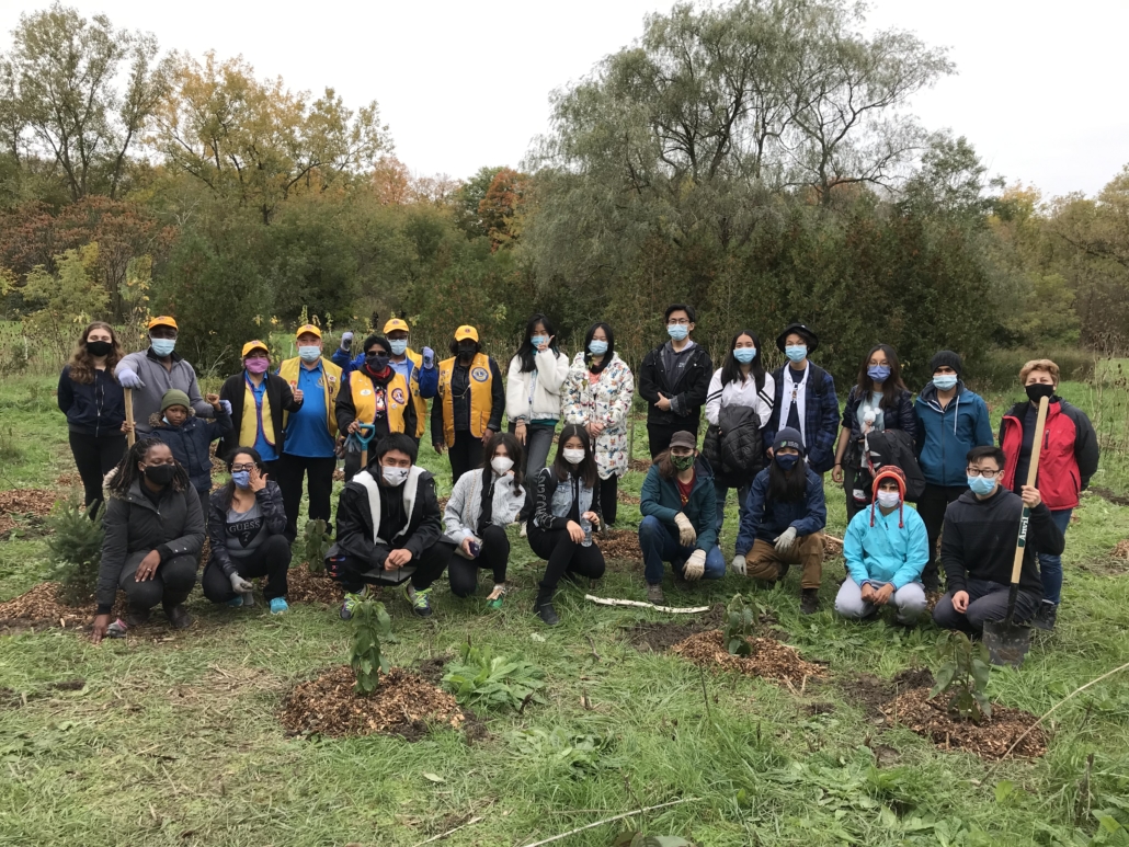
We often refer to ourselves as the “boots on the ground”, shaping a resilient natural environment that will benefit watershed residents across generations. We are proud to work closely with our municipal partners and local residents to drive change at the neighbourhood level. After a pause due to the pandemic, we were excited to get back in the community last summer.
community stewardship events
volunteers and participants
trees and shrubs.
Engaging Local Youth
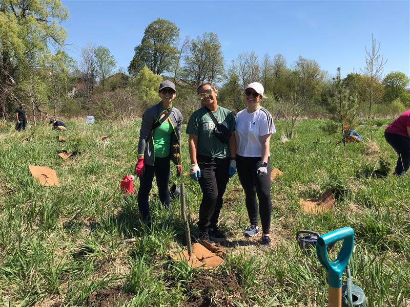
Teen volunteers were back in the field last summer through the Conservation Youth Corps (CYC) program and they accomplished a lot! We adapted CYC programming to comply with COVID-19 safety guidelines. Our staff and volunteers wore masks, our gear was frequently sanitized, and we worked further apart to get the job done. Despite these changes, teen volunteers were eager to learn and get their hands dirty.
youth joined us at
events to plant
trees
Connecting with Park Visitors
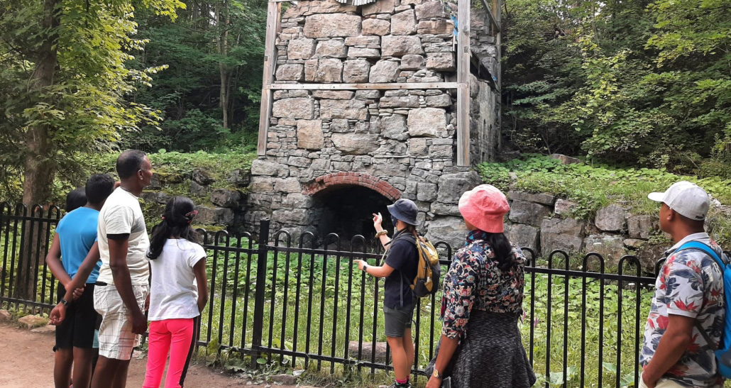
Our CVC Conservation Interpreters were back in our parks engaging over 19,000 visitors with educational interpretation, emergency assistance and wayfinding to increase overall customer satisfaction.
Working With Farmers and Rural Residents
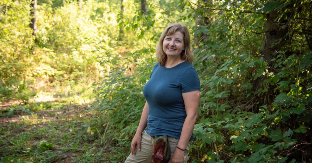
Farmers and rural landowners are an integral part of our engagement and restoration efforts in 2021. The number of project applications to the Landowner Action Fund, our incentive program for rural landowners, increased by almost 50 per cent over last year. Two hundred and eighteen private land stewardship projects were completed, and 59 new private land stewardship projects were approved for incentive funding to build resilience to climate change, protect water quality and quantity and improve biodiversity.
Landowners Committed to Forests for the Future
The Dufferin Northern Peel Anglers and Hunters Association is a conservation association managing their woods and wetlands for future generations of hunters and anglers to enjoy.
For nearly three decades, they have led activities to preserve their 50-hectare property, including planting trees, restoring a wetland, installing bird nesting boxes and upgrading their well.
With funding from CVC and Trees Canada, they recently planted 1,600 native trees and shrubs to help replace diseased red pine and ash trees. Their hard work is starting to pay off. The plant and animal communities are richer and more diverse, and members are seeing more bird species on the property, including osprey, peregrine falcons, owls and grouse.
Launching the ALUS Peel Pilot
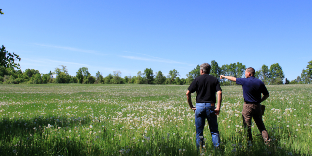
In 2021 we initiated the Alternative Land Use Services (ALUS) Pilot with the Region of Peel and Toronto and Region Conservation Authority. Through the three-year pilot, we will work with local farmers to restore high quality woodlands, grassland and wetlands on farms. Farmers can receive annual payments to protect and monitor nature on their lands.
Serving Neighbourhoods – Local Climate Change Adaptation
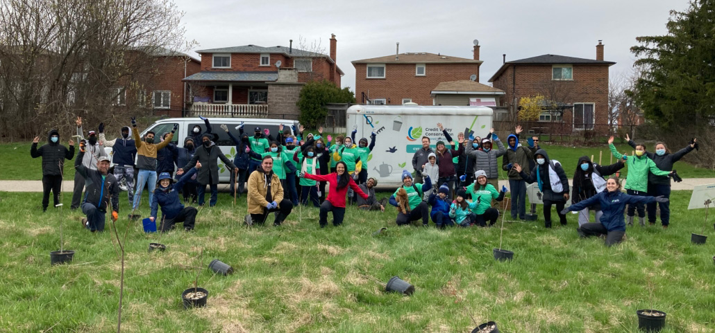
Sustainable Neighbourhood Action Plans (SNAP) are comprehensive and tailored strategies to revitalize mature neighbourhoods facing environmental challenges. They respond to local issues and community interests, address municipal and regional priorities and identify key projects that contribute to a shared neighbourhood vision. SNAPs build local sustainability and help create climate-ready communities.
Working in Fletchers Creek SNAP
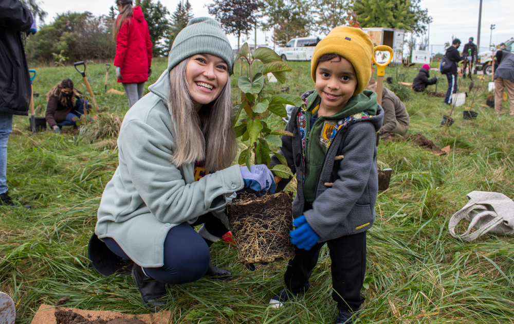
The Fletchers Creek SNAP completed its third highly successful year of implementation. We continued to work with our partners to advance shared environmental goals at the local level, including:
- The Peel Climate Change Partnership’s Flood Resiliency Strategy
- Peel’s Natural Green Infrastructure Strategies
- The City of Brampton’s 2040 Vision, including the One Million Trees program and Grow Green Environmental Master Plan
Together with our partners, we delivered 75 in-person and virtual events, reaching 2,031 community members and planting over 1,700 trees.
Capturing Stormwater
We’re improving stormwater management in the neighbourhood with the new Haggert Ave Bioswale. As stormwater makes it way from roads to the nearest waterway, it picks up pollutants like oil, dirt and road salt. The bioswale is sustainable landscaping feature that manages rain and melting snow to reduce the risks of flooding, improve the health of local rivers and streams and build local resilience in a changing climate.
Working in Hungry Hollow SNAP
The Hungry Hollow Sustainable Neighbourhood Action Plan (SNAP) moved into its first year of implementation in 2021, delivering 20 in-person and virtual events, directly engaging 527 community members and planting over 3,100 trees. In 2022 we plan to continue our targeted efforts in the community with webinars and workshops for residents on topics such as rainscaping and invasive species management. We plan to create public pollinator gardens in partnership with the Halton Hills Butterflyway Project and engage more residents through outreach, events, group hikes and more.
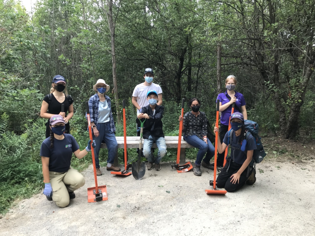
Launching the Community Tree Project
With support from the City of Brampton, Toronto and Region Conservation Authority and the Peel Climate Change Partnership, we received over $430,000 in funding from the federal government to launch the Community Tree Project.
The project was aligned with the Peel Climate Change Partnership’s Green Natural Infrastructure Strategy by planting trees in the most heat vulnerable area in Brampton, home to over 17,000 households.
Throughout 2021, local residents, schools, and businesses participated in 114 neighbourhood events focused on planting and learning about the benefits of trees. These included volunteer tree planting days, online presentations, neighbourhood walks and home consultations reaching 2,900 people.
Together we planted nearly 3,000 trees in the neighbourhood, growing the urban canopy and contributing to Brampton’s One Million Trees Program. In the years and decades to come these trees will capture an estimated 28 tonnes of carbon per year and make the neighbourhood less vulnerable to extreme heat and more resilient to the impacts of climate change.
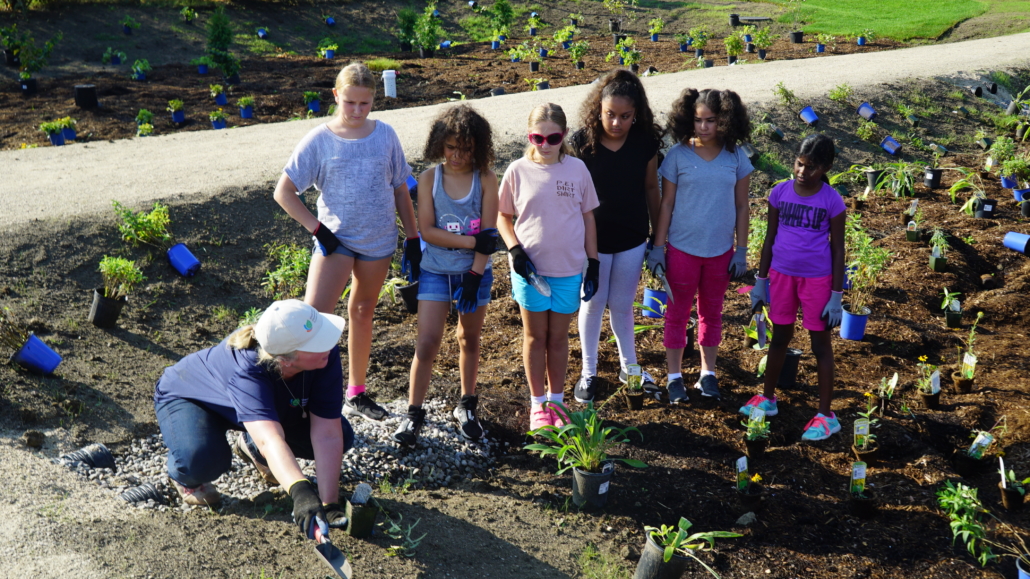
Installing Students for Stormwater Rain Gardens
We secured funding for the design and construction of six school rain gardens. Three rain gardens were built in 2021 at Belfountain, Mineola and Janet Mcdougald Public Schools. The remaining rain gardens will be completed in 2022.
The rain gardens capture rainwater, reduce localized flooding and act as teaching tools for students to learn more about climate change, stormwater management and biodiversity.
Serving Nature – Understanding our Environment to Guide Future Action
Collecting Data through Natural Heritage Inventory
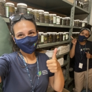
Our Natural Heritage Inventory program continued its critical inventories of species and ecosystems across the Credit River Watershed, including properties in the City of Mississauga and Town of Caledon.
The data collected is used by municipalities to plan their natural heritage systems, plan for sustainable development, alert them of hazardous invasive species, protect biodiversity and generate up-to-date land use mapping.
Working Collaboratively to Improve Water Quality
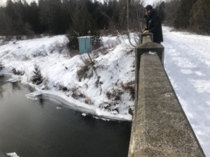
Monitoring environmental conditions, including water quality, is critical to planning future action. Excessive road salt is a significant threat to water quality in the Credit River and its tributaries. Our real-time water quality monitoring system has detected chloride levels higher than the ocean water during peak runoff, which can be harmful to fisheries and aquatic ecosystems.
To help address this growing concern, in 2021 we hosted a workshop on the Future of Salt Management Plans focused on state-of-the-art technologies to create efficiencies for road salt application. Additionally, CVC received funding from the Ministry of Environment, Conservation and Parks to conduct a pilot salt study at CVC’s head office in Mississauga. The results informed municipal salt management plans and improved our understanding of salt use on permeable pavements.

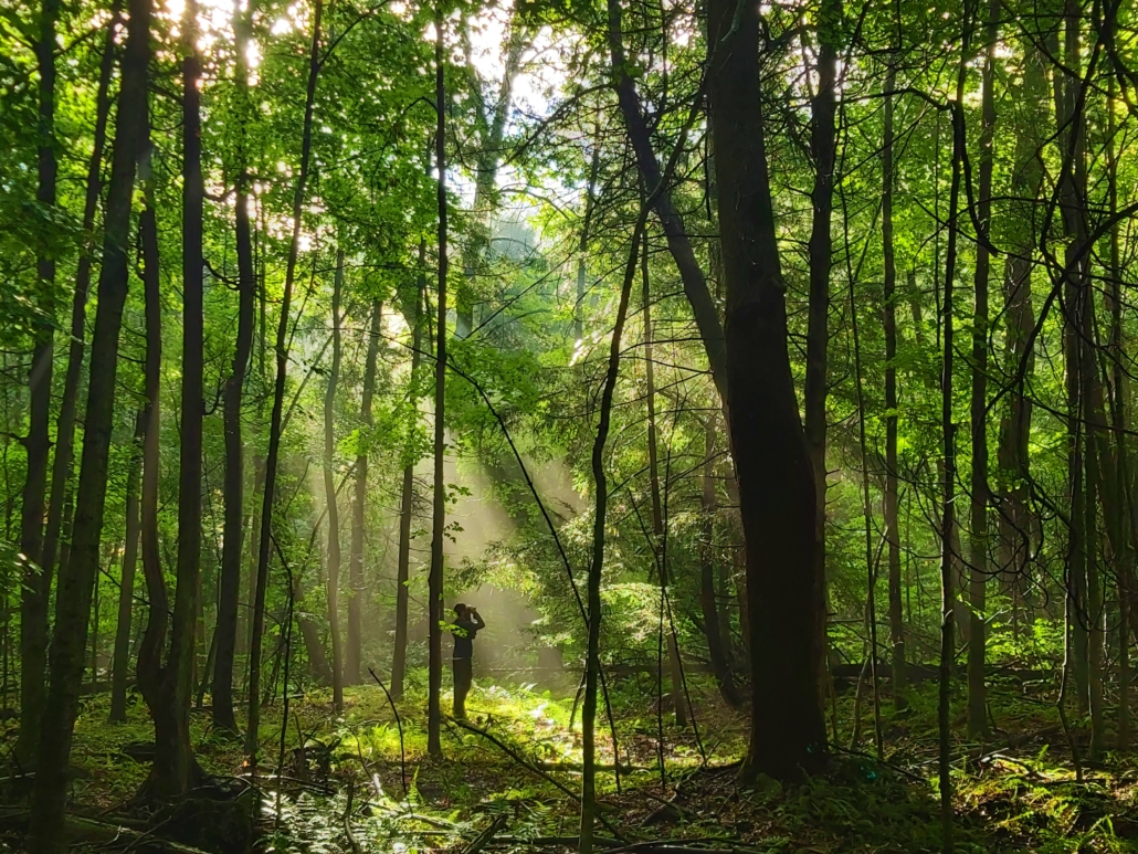
Sustainably Managing Forests
In 2021 we began implementing our Sustainable Forest Management Plan, which guides the protection, maintenance and enhancement of forested properties in the face of stressors like land use change, invasive species and climate change.
One focus is managing forest plantations, of which there are 3,300 hectares in the watershed.
A properly managed forest plantation has some trees strategically removed to create light and space for the growth of native vegetation. This transitions the forest plantation toward a healthy, mixed forest – a process known as forest succession.
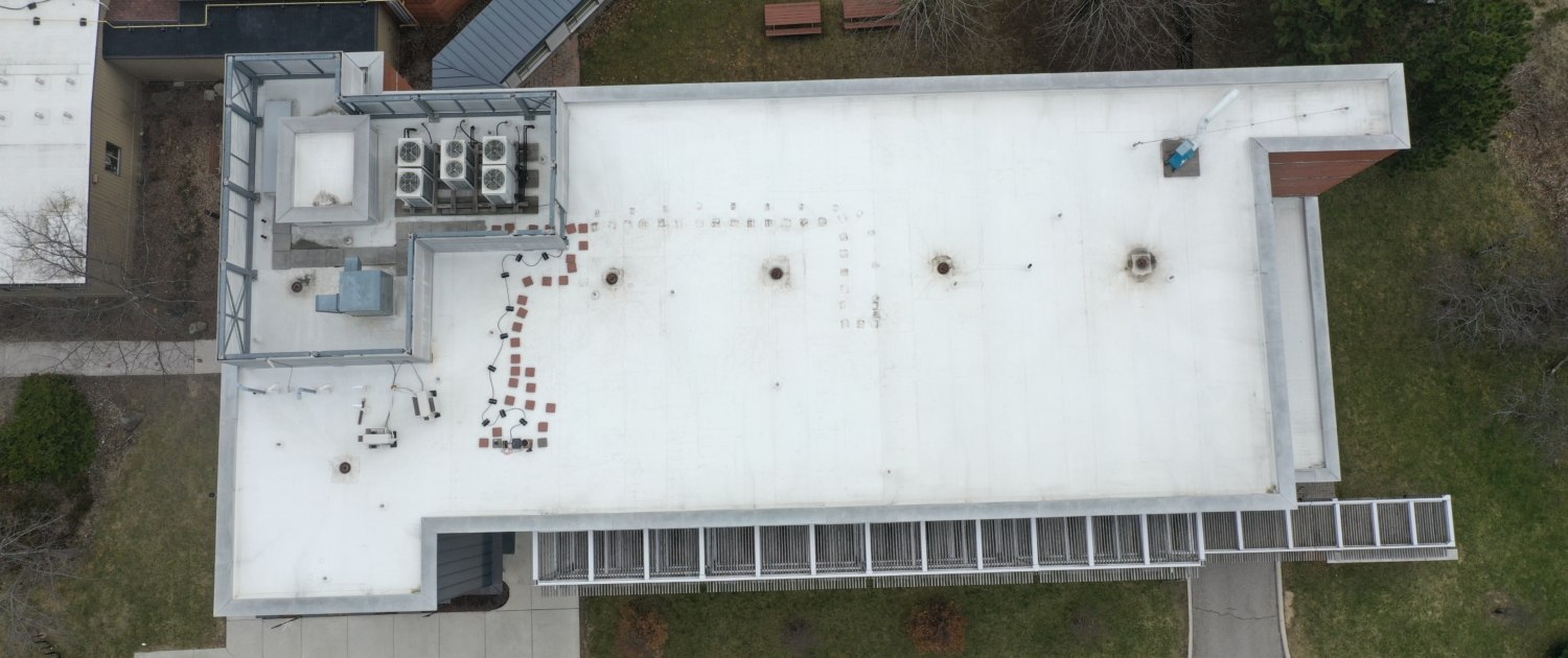
Designing a Smart Blue Roof
CVC is always innovating. To further our commitment to leading edge stormwater solutions, in 2021 we designed a smart blue roof system to be installed at our head office in Mississauga. Smart blue roofs are a form of green infrastructure designed to manage rain to reduce the risk of flooding, protect water quality in our streams and build resilience to our changing climate. With increased risk of flooding due to more extreme and unpredictable rainfall patterns across Canada, there is a greater need now for new approaches to stormwater management, particularly in highly urbanized areas.
Once construction is complete in 2022, we’ll be able to assess the real-world performance of the system and understand how to scale this technology in the local industrial, commercial and institutional sectors across Canada.
Planning for the Future Watershed
In 2021, we continued to develop a new watershed plan for the Credit River Watershed. The plan will use the latest science and data to inform restoration, land use and infrastructure planning.
The watershed planning process is a collaborative effort between CVC, municipalities, federal and provincial agencies, Indigenous communities and community stakeholders.
The new watershed plan will look at existing conditions and model future conditions with growth and climate change in mind. Together with municipal partners we will be able to determine our collective needs now, and into the future.
Serving our Member Municipalities
CVC provides it’s member municipalities with technical and environmental planning expertise to keep people and properties safe, ensuring new development and changes to existing development stay away from flood-prone and hazardous areas.
In 2021…
we reviewed
planning and environmental applications
we reviewed
permit applications
we received
“good overall” customer satisfaction rating
we met
of defined permit timelines
Building Flood Resiliency in Partnership
CVC leads the Flood Resiliency Strategy on behalf of Peel Climate Change Partnership. We work together and improve flood resiliency in light of current and future extreme weather events through innovative tools, optimizing practices and increasing alignment with partners.
With over one million dollars in external funding grants, we developed the Risk and Return on Investment Tool to help municipalities and property owners make evidence-based, cost-effective decisions to reduce flood and erosion risks.
Among the many features the tool offers, it can identify populations that may be more vulnerable to flooding. This can help with municipal emergency evacuation planning and prioritizing projects that reduce flooding.
Reducing Flood Risk Through Flood Plain Mapping
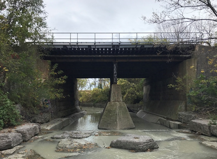
By studying updated flood plan maps, in 2021 we looked for opportunities to reduce flood risk along urban watercourses. This included potential improvements to stream channels, bridges and culverts. We provided guidance for the City of Mississauga to identify priority projects for flood risk reduction.
In one example, we proposed upgrading the CNR-Metrolinx bridge crossing of Cooksville Creek which flooded in 2013. Metrolinx is now in the early stages of upgrading the crossing.
Leading Source Water Protection
In 2021, we took on additional responsibility for Source Water Protection, as the lead agency for the Central Lake Ontario-Toronto-Credit Valley Source Protection Region (CTC). Working closely with our municipal partners and the community, we are implementing the CTC Source Protection Plan to ensure continued safe drinking water for all watershed communities.
In the northern part of the Credit River Watershed, we collaborated with municipal Source Water Protection staff to develop and implement risk management plans with farmers to improve protection of municipal drinking water.
Enhancing our Services
Engaging More People Online Through Enhanced Digital Communication Tools
Technology has been so important throughout the pandemic, and we were pleased to launch our new website that reflects modern website design, accessibility best practices and updated content.
The site helps residents get what they need faster, including online permit applications, park membership sales, rentals and facilities reservations. The website provides a number of interactive tools including floodplain mapping and access to real time water monitoring data.
Stories from Our Monitoring Data
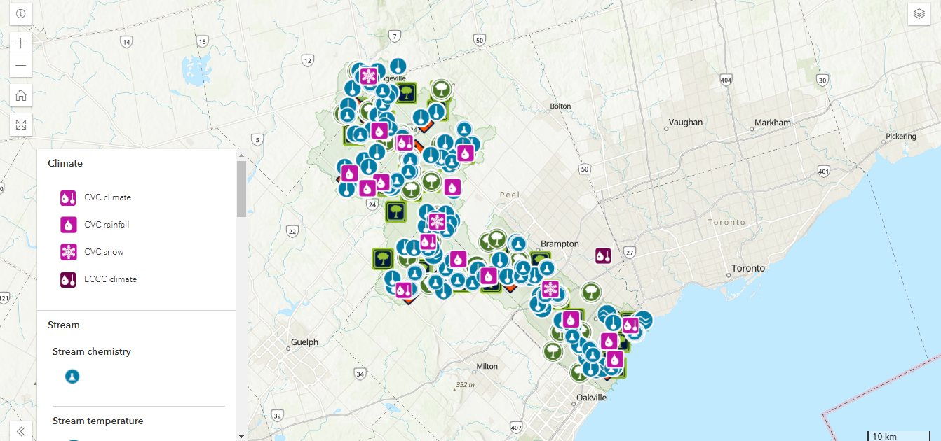
One such tool is the Integrated Watershed Monitoring Program StoryMap collection. It combines maps, text, images and multimedia content to tell the story of our long-term monitoring program, which tracks conditions and trends in the watershed.
Meeting the Increased Demand for Outdoor Recreation
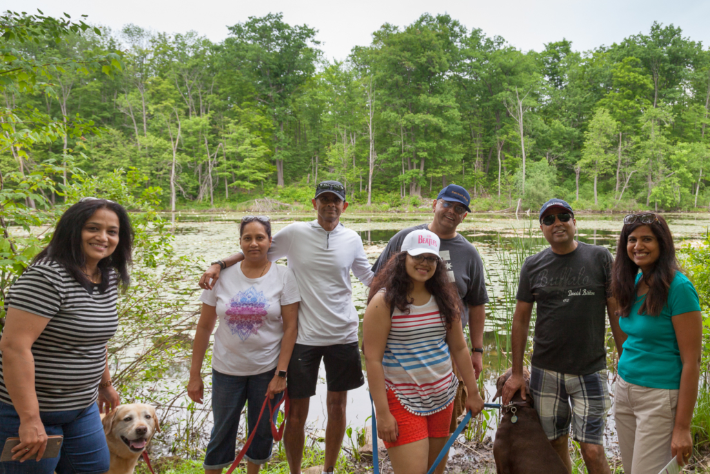
For the first time ever, we had over one million visitors to our parks in 2020, and we saw that trend continue in 2021. Our parks have seen a steady increase over the past decade – 200 per cent over the last 11 years.
Enhancing Park Facilities and Infrastructure to Address Demand
Through the Investing in Canada Infrastructure Program (ICIP), the federal and provincial governments provided $3.24 million in grants to enhance trails, boardwalks and pedestrian bridges in nine CVC properties across the watershed.
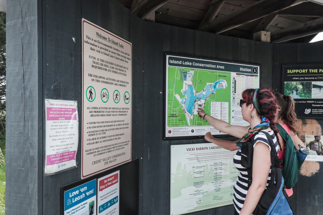
In 2021, we implemented new kiosk, wayfinding and mapping systems that provide a better visitor experience and visitor safety, including wayfinding for the Credit Valley Trail.
Re-envisioning Belfountain Conservation Area
We’re re-envisioning the park through the Belfountain Management Plan to ensure an outstanding guest experience and enhanced dam infrastructure.
Over 5000 cubic metres (about 500 truckloads) of parkland-quality sediment was removed from the former pond and placed at CVC’s Pinchin Pit property for beneficial re-use.
We lowered the dam by one metre and installed bedrock anchors for stability. We constructed 180 metres of new West Credit natural channel, restoring brook trout habitat and we planted 12,000 native trees and shrubs.
Creating a New Waterfront
We continued our progress toward our vision of a beautiful 26 hectares waterfront conservation area in the heart of Mississauga. We continue to shape and refine the landform, design public amenities and create new habitats. The Jim Tovey Conservation Area will transform a once industrialized shoreline, increase wildlife habitat and access to green space. When complete, it will also add a missing piece of the Waterfront Trail.
Making Rattray Marsh CA More Accessible
Rattray Marsh is CVC’s most visited conservation area. This year saw record visitation, with 444,800 people enjoying the boardwalks, bridges, beach and scenic vistas. Not only is it a refuge for wildlife, it’s also a refuge for local residents, who are able to find comfort and solace throughout the pandemic in this unique natural setting so close to home.
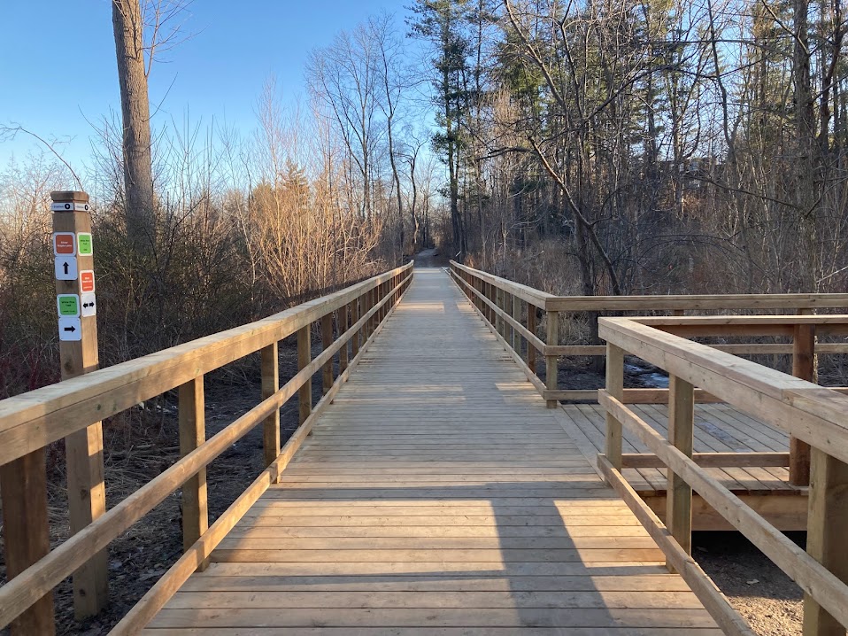
In 2021, we led boardwalk renovations to protect the conservation area from further damage and to remove even more barriers to accessibility. This includes reconstructing the entire Knoll Trail boardwalk and removing over 100 steps, making Rattray Marsh’s Knoll Trail fully wheelchair accessible.
Planning the Future of Island Lake CA
We developed a new management plan for Island Lake Conservation Area. It establishes a new vision and objectives for the conservation area and actions that will help realize this vision and respond to current pressures. It will guide natural resource management, capital investments, recreation and visitor experiences over the next 25 years.
2021 CVC Foundation Update
Engaging Donors
After postponing the 2020 Conservation Gala due to the pandemic, the CVC Foundation welcomed guests back to its 15th Anniversary Conservation Gala. The event received $260,000, an exceptional level of support from the donor community. Proceeds will support environmental initiatives, including connecting the Credit Valley Trail (CVT).
Additionally, the CVC Foundation hosted an online auction, trail donation days at CVC’s Conservation Areas and an end of year holiday giving campaign. All events were an opportunity to engage with the community and support our beautiful conservation areas. Funds raised also support the CVT, which will connect people to the beauty of nature, rich cultural experiences, Indigenous heritage and values, and to the sacred, sustaining waters of the Credit River.
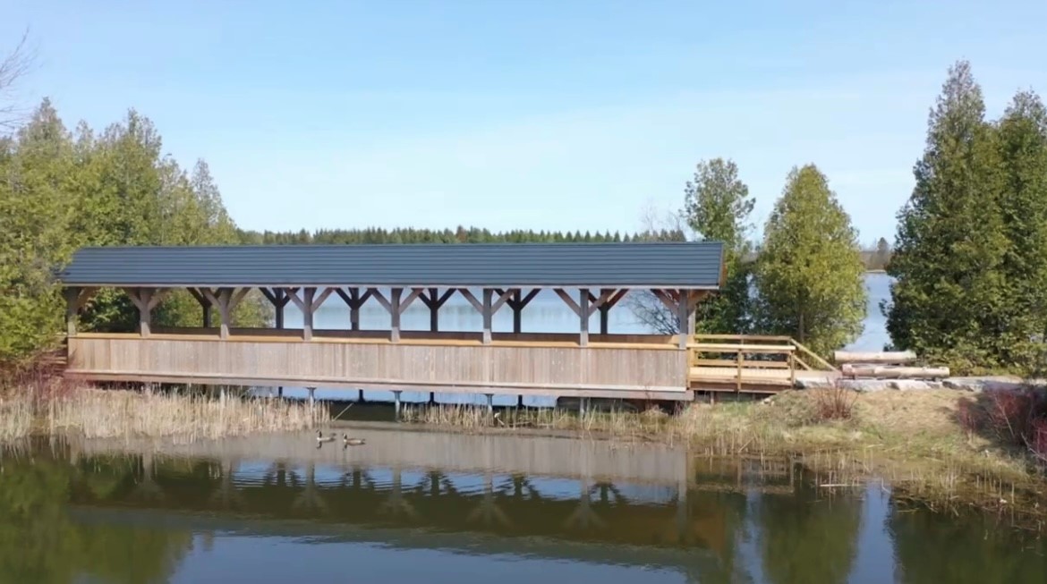
Covered bridge
A new 25 metre covered bridge was completed at Island Lake Conservation Area providng a beautiful gateway for trail users crossing over the wetland.
Built by CVC staff and members of the Friends of Island Lake, the bridge structure pays homage to the rural character of the area and other covered bridges which existed in rural headwater communities in the late 19th century.
2021 Financial Highlights
Total contributions from municipal levy
Total raised through other sources (grants, etc.)
Total revenue generated by CVC (parks, planning fees, etc.)
Total budget to actual
*Actuals recognized based on the accrual method of accounting.
For more information please see our Audited Financial Statements.
Thank you to our member municipalities for your support and valued partnerships!
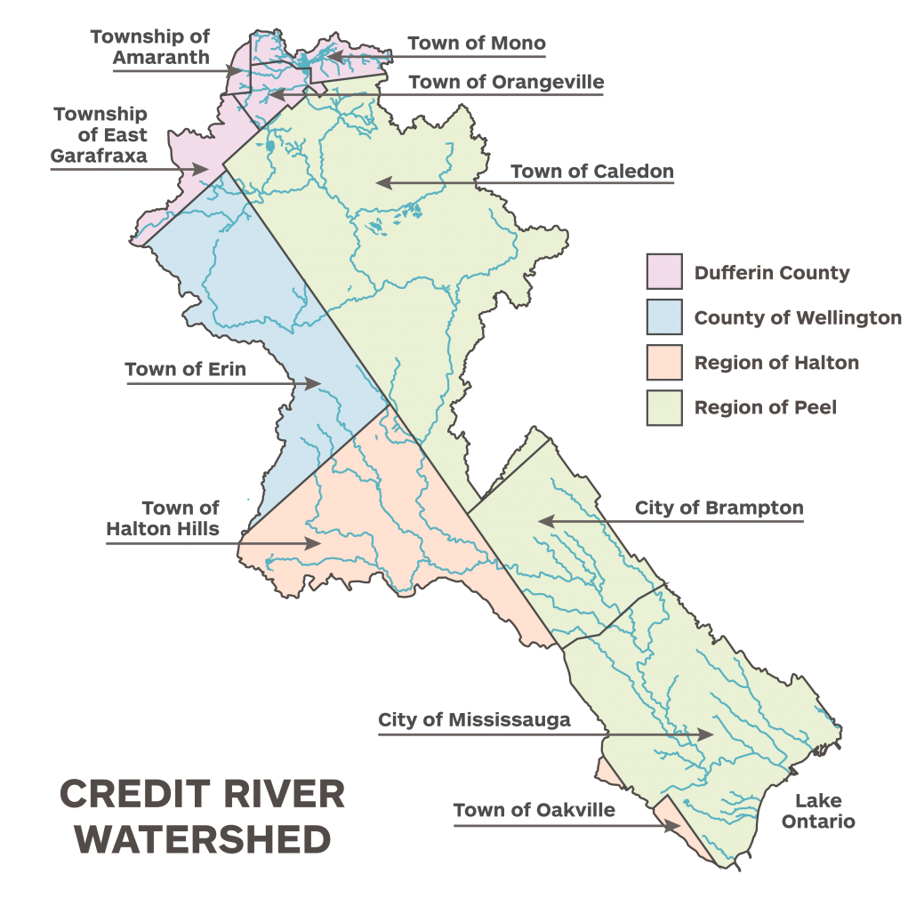
The Credit River Watershed is the area of land that drains runoff from rain and snow into the tributaries of the Credit River. In addition, smaller adjacent watersheds that drain directly into Lake Ontario and a section of the Lake Ontario shoreline make up CVC’s jurisdiction. From north to south this area includes sections of Amaranth, Mono, all of Orangeville, East Garafraxa, Caledon, Erin, Halton Hills, Brampton, Mississauga and Oakville.
Recognizing the Enduring Presence of Indigenous Peoples
As we work to further our mission, we acknowledge the rich history and enduring presence of Indigenous peoples as stewards of the land and water of the Credit River Watershed.
We acknowledge that the Credit River Watershed is part of the Treaty Lands and Territory of the Mississaugas of the Credit First Nation. The Credit River Watershed is also part of the traditional territory of the Huron-Wendat and Haudenosaunee, and home to many First Nations, Métis, and Inuit Peoples today.
Treaties made with Indigenous Peoples are enduring and include responsibilities for both parties. We affirm that this land and water is our common source of life and we must all share responsibility for its care and stewardship for now and future generations.
2021 Board of Directors
Region of Peel
All City of Mississauga councillors are also Region of Peel councillors.

Stephen Dasko
Councillor Ward 1,
City of Mississauga
Ph: 905-896-5100
City of Mississauga
300 City Centre Dr.
Mississauga ON
L5B 3C1

Johanna Downey
CVC Vice Chair
Regional Councillor Ward 2,
Town of Caledon
Ph: 905-584-2272
Town of Caledon
6311 Old Church Rd.
Caledon, ON
L7C 1J6

Matt Mahoney
Councillor Ward 8,
City of Mississauga
Ph: 905-896-5800
City of Mississauga
300 City Centre Dr.
Mississauga ON
L5B 3C1

Martin Medeiros
Regional Councillor
Wards 3 & 4,
City of Brampton
Ph: 905-874-2634
City of Brampton
2 Wellington St. W.
Brampton, ON
L6Y 4R2

Pat Mullin
Councillor Ward 2,
City of Mississauga
Ph: 905-896-5200
City of Mississauga
300 City Centre Dr.
Mississauga ON
L5B 3C1

Michael Palleschi
Regional Councillor
Wards 2 & 6,
City of Brampton
Ph: 905-874-2602
City of Brampton
2 Wellington St. W.
Brampton ON
L6Y 4R2

Ron Starr
Councillor Ward 6,
City of Mississauga
Ph: 905-896-5600
City of Mississauga
300 City Centre Dr.
Mississauga ON
L5B 3C1
Region of Halton

Tom Adams
CVC Chair
Regional Councillor Ward 6,
Town of Oakville
Ph: 905-849-7915
Town of Oakville
1225 Trafalgar Rd.
Oakville ON
L6J 5A6

Ann Lawlor
Councillor Ward 4
Town of Halton Hills
Ph: 905-877-5662
Town of Halton Hills
1 Halton Hills Drive
Halton Hills, ON L7G 5G2

John Brennan
Town Councillor,
Town of Erin
Ph: 519-833-7309
Corp. of the Town of Erin
5684 Trafalgar Rd.
Hillsburgh,
ON N0B 1Z0

Grant Peters
Town Councillor
Town of Orangeville
Ph: 519-209-2978
Town of Orangeville
87 Broadway
Orangeville ON L9W 1K1

John Stirk
Deputy Mayor
Township of East Garafraxa
Ph: 519-939-0703
Township of East Garafraxa
374028 6th Line
Amaranth, ON L9W 0M6
Joined the CVC Board September 2020
Thank you to our member municipalities for your support and valued partnerships!
Senior Leadership Team

Josh Campbell
Director, Planning and Development Services

Quentin Hanchard
Chief Administrative Officer, CVC

Andrew Kett
Director, Corporate Services

Terri LeRoux
Director,
Property, Asset, Recreation and
Conservation Area Services (PARCS)

Aviva Patel
Director,
Watershed Knowledge

John Sinnige
Director, Watershed Management

Credit Valley Conservation
1255 Old Derry Road
Mississauga, ON
L5N 6R4
905-670-1615
1-800-668-5557

 2021 Annual Report